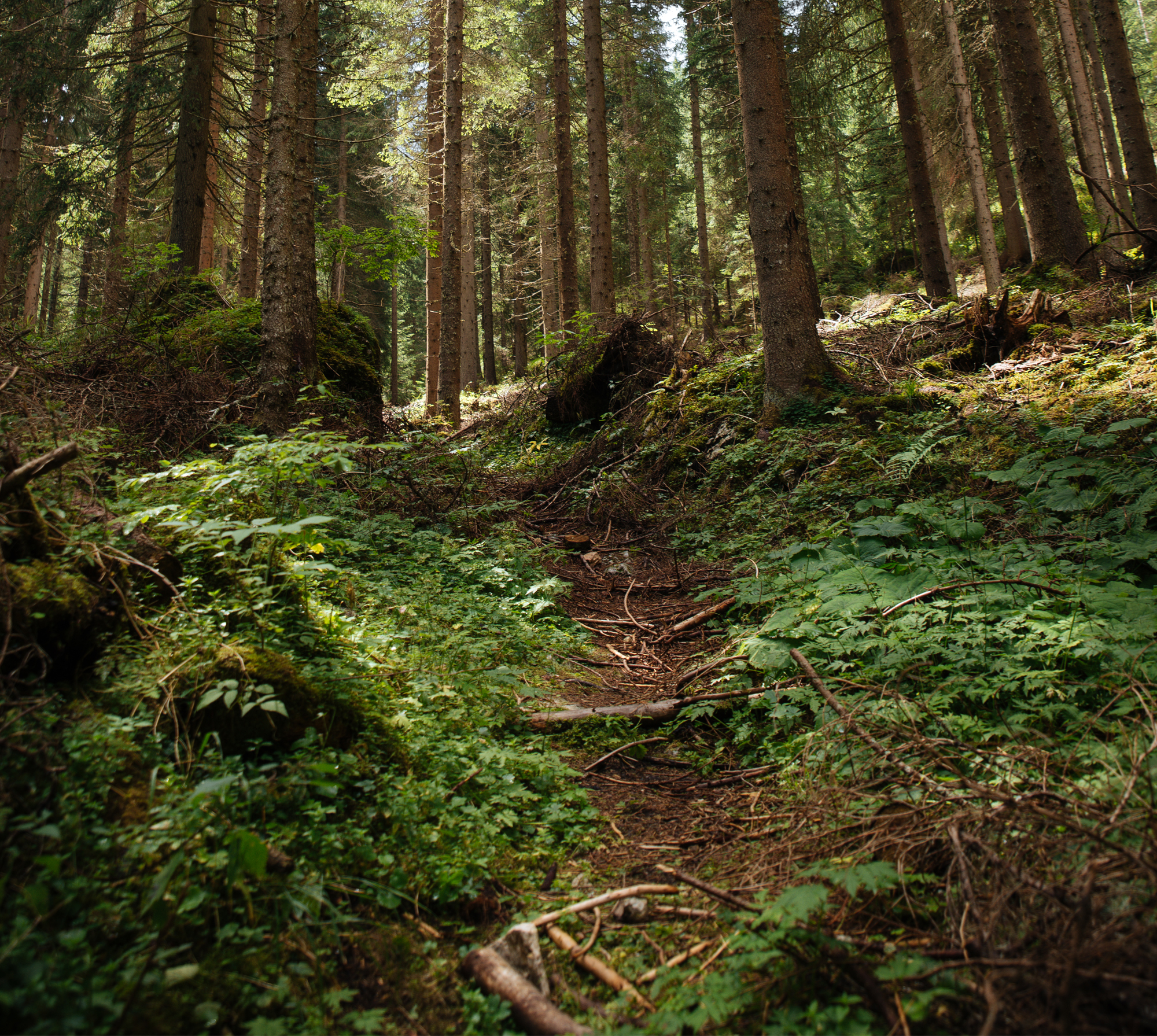
Zmiany powierzchni i przestrzennego rozmieszczenia lasów w Polsce w II połowie XX wieku

Changes of area and spatial distribution of forests in Poland in late 20th century

Autorzy

  • Zenon F. Poławski Instytut Geodezji i Kartografii, ul. Modzelewskiego 27, 02-679 Warszawa, Poland,
    zpolawski@igik.edu.pl

Abstrakt

The basis for carried out analyses of changes of forests area and spatial distribution was database containing aggregated data on land cover and its utilization obtained in a framework of CORINE Land Cover (CLC-2000) project. Additionally, digitalized and geometrized Poland’s General Land Utilization Map in 1:1,000,000 scale was used, elaborated according to topographic maps made in 1930s in 1:100,000 scale.

DOI
Source
Print ISSN
Online ISSN
Type of article
Original title
Publisher
Date
Translate »