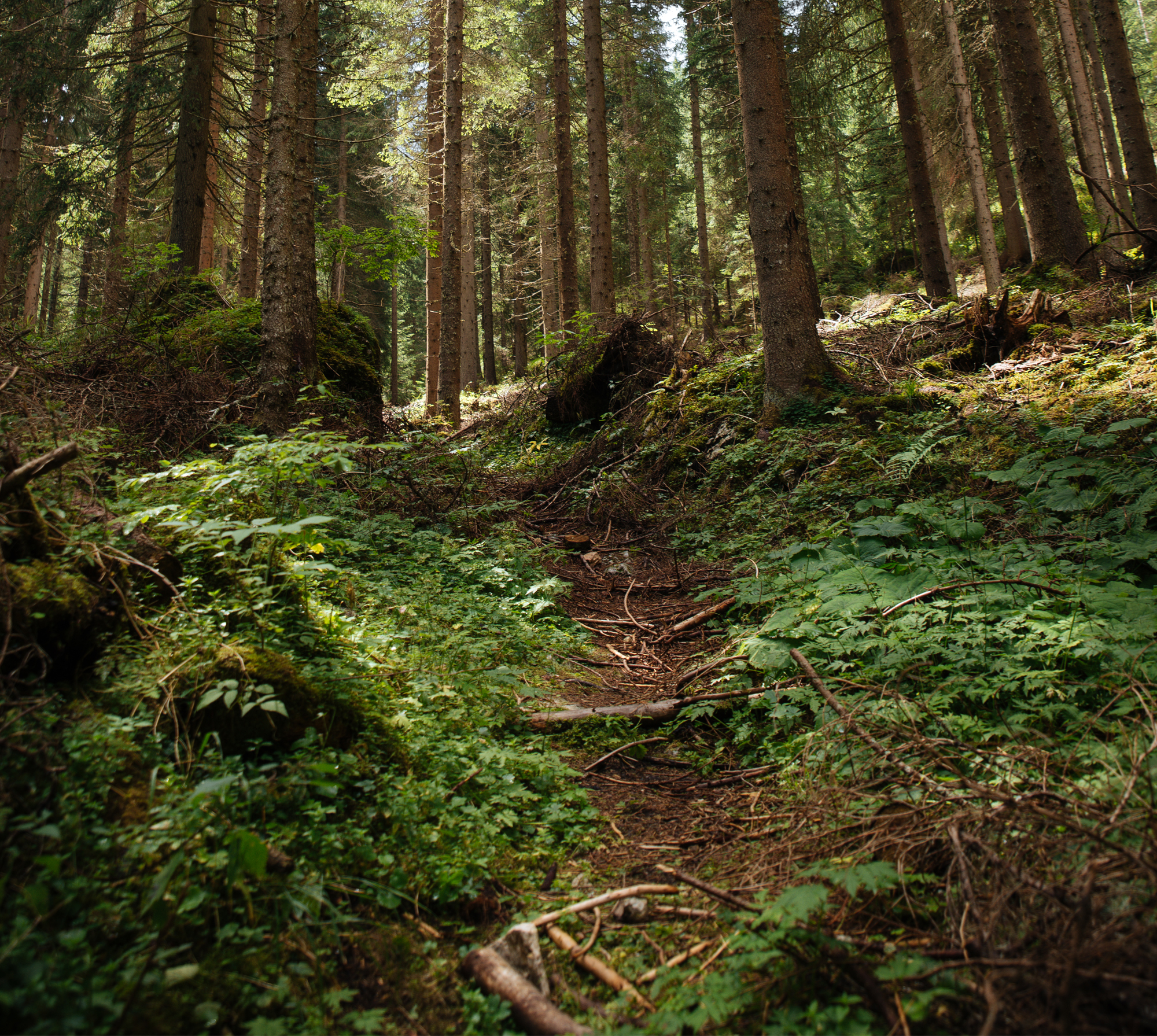
The main purpose of this study is to analyze the possibility of stand biomass evaluation based on biometric measurements from airborne laser scanning data in a spruce forest test area. Data fusion of airborne laser scanning, and aerial orthoimagery (0.5 m spatial resolution), as well as the use of FieldMap equipment in the measurement of reference data in sampling plots makes it possible to estimate different stand parameters. An important stage of height evaluation in the spruce test area is the DTM extraction based on LiDAR data. The traditional forest management plans of the study area and DTM based on topographic maps (1 : 5.000) were used for accuracy assessments.
DOI | |
---|---|
Source | |
Print ISSN | |
Online ISSN |
|
Type of article |
|
Original title |
|
Publisher | |
Date |