Ta strona korzysta z ciasteczek, aby zapewnić Ci najlepszą możliwą obsługę. Informacje o ciasteczkach są przechowywane w przeglądarce i wykonują funkcje takie jak rozpoznawanie Cię po powrocie na naszą stronę internetową i pomaganie naszemu zespołowi w zrozumieniu, które sekcje witryny są dla Ciebie najbardziej interesujące i przydatne.

Impacts of forest spatial structure on variation of the multipath phenomenon of navigation satellite signals
Autorzy
- Michał Brach Szkoła Główna Gospodarstwa Wiejskiego w Warszawie, Katedra Urządzania Lasu, Geomatyki i Ekonomiki Leśnictwa, ul. Nowoursynowska 159, 02–776 Warszawa, Polska
- Krzysztof Stereńczak Instytut Badawczy Leśnictwa, Zakład Geomatyki, Sękocin Stary, ul. Braci Leśnej 3, 05−090 Raszyn, Polska
-
Leszek Bolibok
Szkoła Główna Gospodarstwa Wiejskiego w Warszawie, Wydział Leśny, Katedra Hodowli Lasu
ul. Nowoursynowska 159/34
02-776 Warszawa
Tel. +48 22 5938106, e-mail: leszek_bolibok@sggw.pl -
Łukasz Kwaśny
Szkoła Główna Gospodarstwa Wiejskiego w Warszawie, Instytut Nauk Leśnych, Samodzielny Zakład Geomatyki i Gospodarki Przestrzennej,
ul. Nowoursynowska 159, 02−776 Warszawa -
Grzegorz Krok
Instytut Badawczy Leśnictwa, Zakład Geomatyki, Sękocin Stary, ul. Braci Leśnej 3, 05−090 Raszyn, Polska
Tel. +48 22 7150366, e-mail: g.krok@ibles.waw.pl -
Michał Laszkowski
Warsaw University of Life Sciences – SGGW, Faculty of Forestry, Department of Silviculture
Warsaw, Poland
Abstract
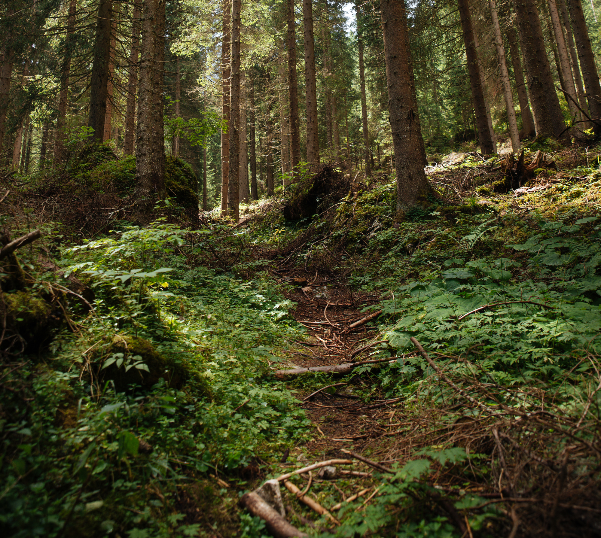
The GNSS (Global Navigation Satellite System) receivers are commonly used in forest management in order to determine objects coordinates, area or length assessment and many other tasks which need accurate positioning. Unfortunately, the forest structure strongly limits access to satellite signals, which makes the positioning accuracy much weak comparing to the open areas. The main reason for this issue is the multipath phenomenon of satellite signal. It causes radio waves reflections from surrounding obstacles so the signal do not reach directly to the GNSS receiver’s antenna. Around 50% of error in GNSS positioning in the forest is because of multipath effect. In this research study, an attempt was made to quantify the forest stand features that may influence the multipath variability. The ground truth data was collected in six Forest Districts located in different part of Poland. The total amount of data was processed for over 2,700 study inventory plots with performed GNSS measurements. On every plot over 25 forest metrics were calculated and over 25 minutes of raw GNSS observations (1500 epochs) were captured. The main goal of this study was to find the way of multipath quantification and search the relationship between multipath variability and forest structure. It was reported that forest stand merchantable volume is the most important factor which influence the multipath phenomenon. Even though the similar geodetic class GNSS receivers were used it was observed significant difference of multipath values in similar conditions.
Keywords
| DOI | 10.2478/ffp-2019-0001 |
|---|---|
| Source | Folia Forestalia Polonica, Series A – Forestry |
| Print ISSN | 0071-6677 |
| Online ISSN |
2199-5907 |
| Type of article |
original article |
| Original title |
Impacts of forest spatial structure on variation of the multipath phenomenon of navigation satellite signals |
| Publisher | The Committee on Forestry Sciences and Wood Technology of the Polish Academy of Sciences and the Forest Research Institute in Sekocin Stary |
| Date | 04/05/2019 |
- Brach M., Stereńczak K., Bolibok L., Kwaśny Ł., Krok G., Laszkowski M. Impacts of forest spatial structure on variation of the multipath phenomenon of navigation satellite signals
- Meshkova V., Nazarenko S., Kolienkina M. Diprion pini L. (Hymenoptera, Symphyta, Diprionidae) population dynamics in the Low Dnieper region
- Ukalska J., Jastrzębowski S. Sigmoid growth curves, a new approach to study the dynamics of the epicotyl emergence of oak
- Żółciak A., Nowakowska J., Pacia A., Keča N., Oszako T. Fungi isolated from shoots showing ash dieback in the Wolica Nature Reserve in Poland and artificially inoculated seedlings with Hymenoscyphus fraxineus
- Tyburski Ł., Zaniewski P., Bolibok L., Piątkowski M., Szczepkowski A. Scots pine Pinus sylvestris mortality after surface fire in oligotrophic pine forest Peucedano-Pinetum in Kampinos National Park
- Zhigunov A., Butenko О. Estimating the growth of 20- to 26-year-old lodgepole pine plantations in the Leningrad region of Russia
- Skrzecz I., Bulka M., Ukalska J. Effects of location of Norway spruce (Picea abies) stumps on their colonisation by insects in the mountains
- Koranteng A., Adu-Poku I., Zawiła-Niedźwiecki T. Landuse and land cover dynamics in the Volta River Basin surrounding APSD forest plantation, Ghana
- Strzeliński P., Turski M. Monitoring of spruce stands in the Czerwona Woda river catchment of the Stołowe Mountains National Park


